
Confirm the plate identifier before reading the grid
A plate position such as B03 identifies a location only within the correct plate. Put the unique plate ID and the map revision at the top of the file and on its printed view. ANSI/SLAS publishes distinct microplate standards, including well positions. An agreement on a physical format helps with positioning, while the matching shipment map supplies the buyer’s sample identities for that particular delivery.
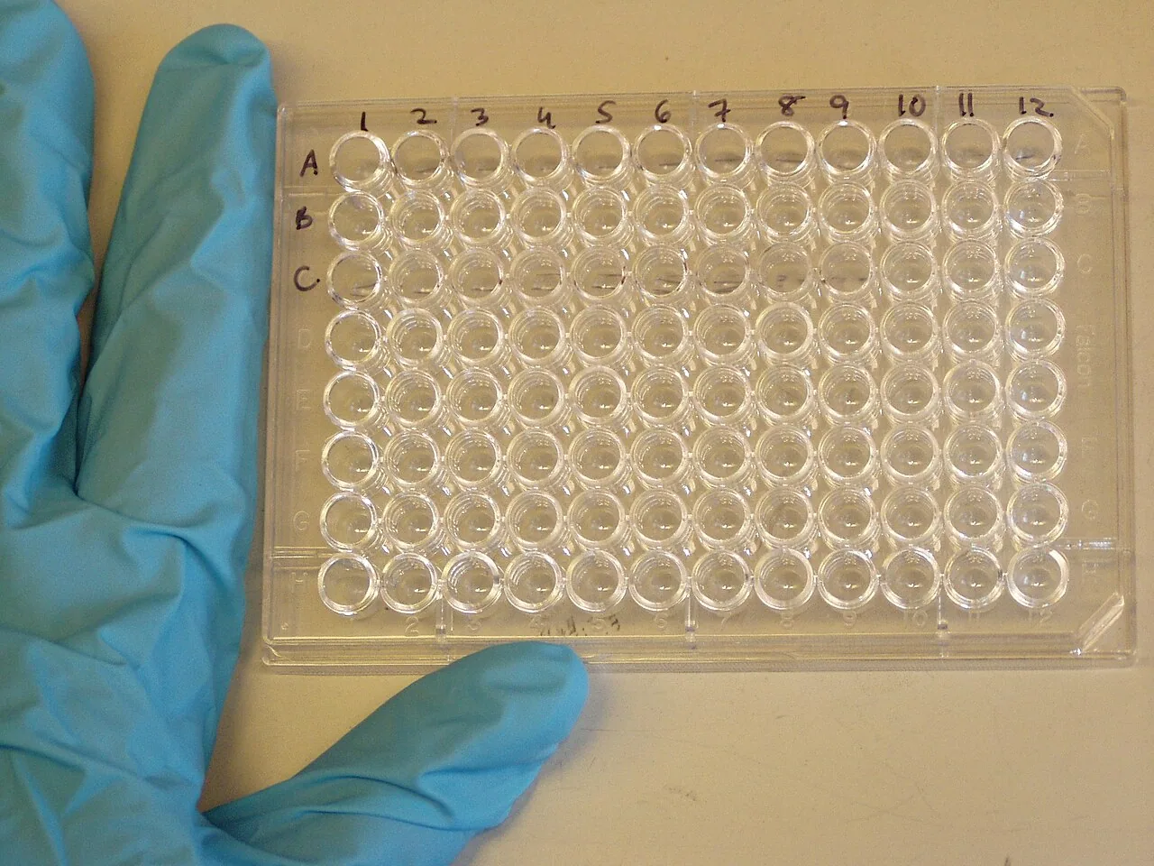



Use a grid and a line-by-line table
A grid helps a receiver see the orientation. A line-by-line table is easier to import and search. Ask for the same location conventions in both, including leading zeros and upper-case row letters. Define the meaning of empty cells. For example, a deliberately unused position can be marked as unused, while a yet-to-be-supplied entry can carry a pending status. Those states require different follow-up.
Resolve a duplicate address without guessing
Suppose rows B03 and B3 appear under the same plate barcode with different buyer IDs. Before accepting the map, ask which coordinate format was intended and whether the two entries refer to one physical location. Keep the original map and request a corrected revision. A second plate with its own ID can legitimately have its own B03, so the review should check the combination of position and plate identity.
Worked example
If a map is printed in landscape and another copy in portrait, a rotation can hide which edge the receiver is viewing. Ask for the plate identifier and orientation mark on both versions. Have the receiving contact sign off the printed view used at handover.
Prepare your inquiry
Link the plate ID, position convention and map revision before comparing contents.